|
||
|
Products ⇨ GPS Equipment About GPS Equipment
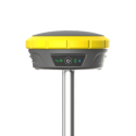
Surveying and mapping was one of the first commercial adaptations of GPS, as it provides a latitude and longitude position directly without the need to measure angles and distances between points. By using base and rover in conjunction, or connecting to the CORS (Continuously Operating Reference Stations) network, these systems produce sub-millimeter accuracy in real-time. This level of precision and efficiency make GPS a viable solution for modern surveyors and contractors alike. Categories
GPS Equipment
GPS Equipment
|
||
|
|


